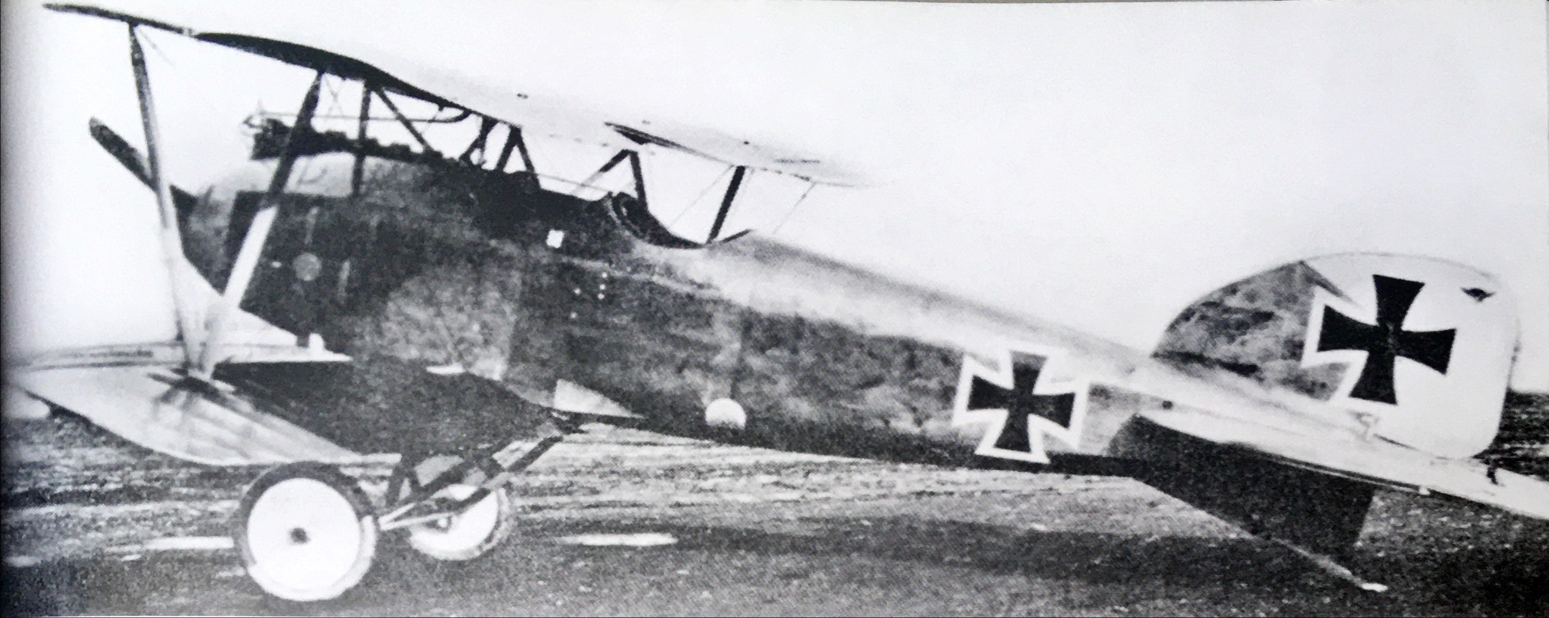
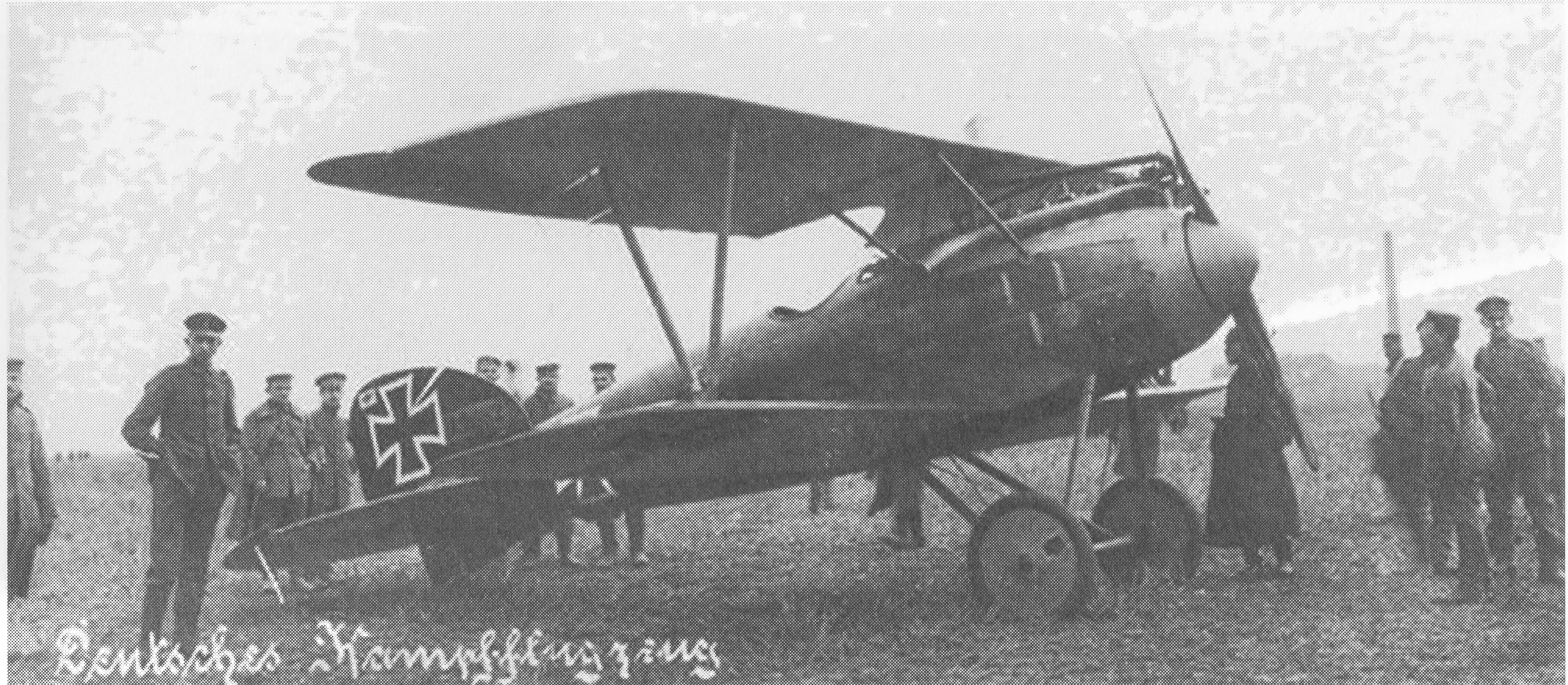
June 18, 1917

Victory 53

Event Summary

Featured image

Victory 53

Victory 53 (picture source: Thomas La Padula - Aviation Art)

Location Map

Coordinates 50.89667710469896, 2.8836039410008443

Event Narrative

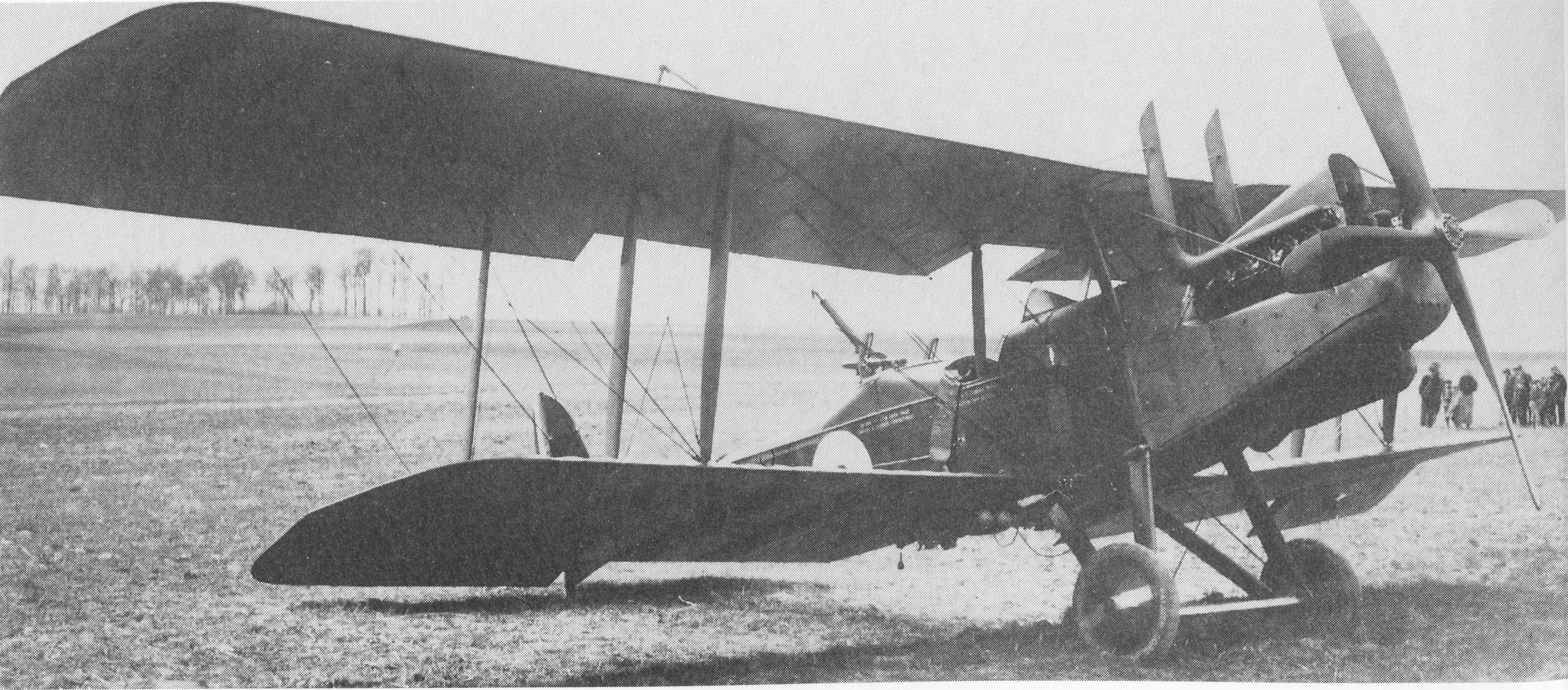
Combat Report: 1315 hrs. Hof Struywe, Square V.42., this side of the line. RE2 (burnt). Accompanied by my Staffel, I attacked at 2.500 metres north of Ypres, on this side of the line, an English artillery RE. I fired from shortest distance some 200 shots, whereafter I zoomed over the enemy plane. In this moment I noticed that both pilot and observer were lying dead in their machine. The plane continued without falling, in uncontrolled curves to the ground. Driven by the wind, it fell into Struywe's farm where it began to burn after hitting the ground. Weather: fine in the morning, but heavy storm in the afternoon.

Combat Overview

A clearer reading of the opposing pilot and aircraft involved in this encounter.

VS

Related Media

Victory 53

Victory 53

Victory 53 (picture source: Thomas La Padula - Aviation Art)
Sources

Pilots

MvR Airplanes

Airplane Types Richthofen flew

Opponent Airplanes

Opponent Airplane Types

Discussion

Comments (0)

Be the first to comment on this event.

Leave a comment

Your comment will appear after an administrator approves it. Your email address will not be published.

This research platform was curated by Hein Poblome with care, patience, and a lot of passion. If you enjoy the work and would like to support the project, buying him a coffee is a wonderful way to help. Support on Buy Me a Coffee