January 23, 1917

Victory 17

Event Summary

Featured image

Victory 17

Location Map

Coordinates 50.43088970139912, 2.7483047123441313

Event Narrative

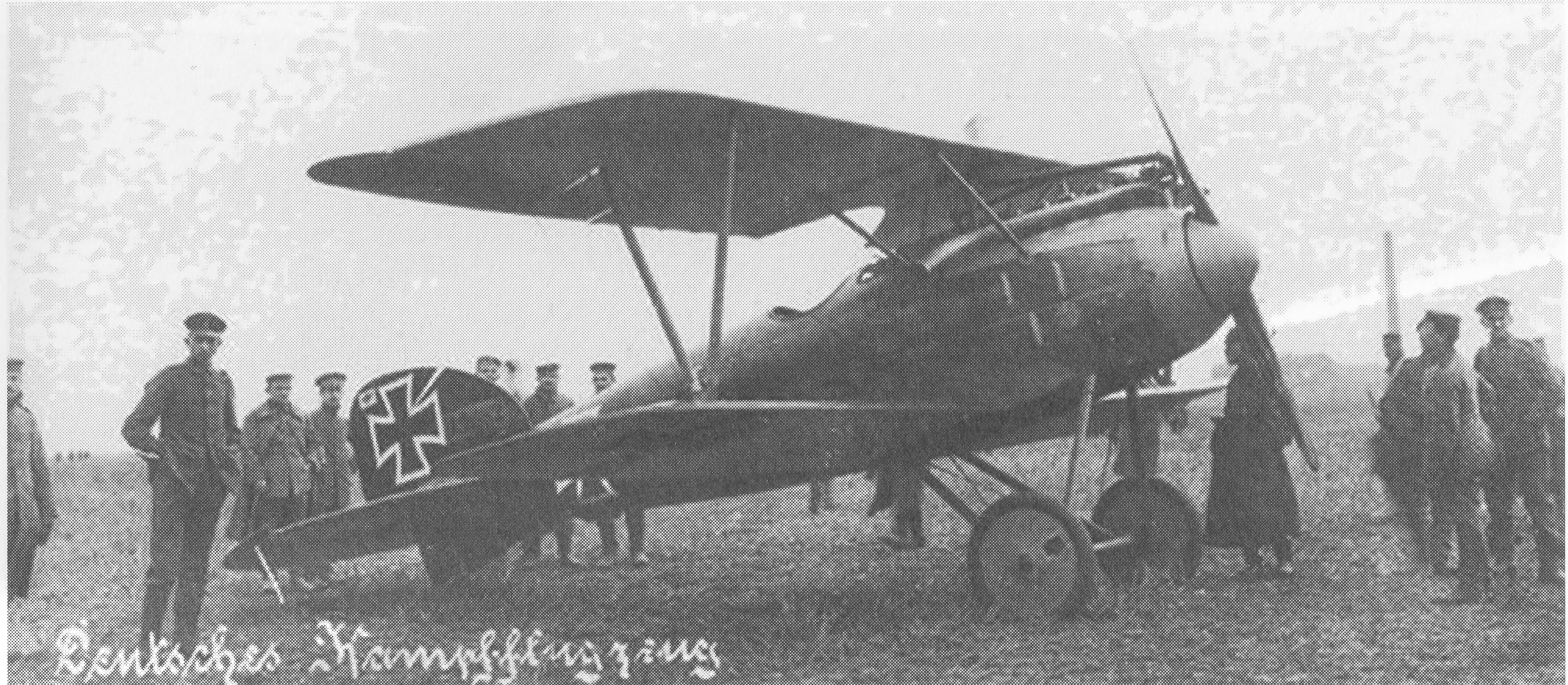
"Combat Report: 1610 hrs, above trenches south-west of Lens. No details, plane fell on the enemy's side. About 1610 I attacked, together with seven of my planes, enemy squadron, west of Lens. The plane I had singled out caught fire after 150 shots, fired from a distance of 50 metres. The plane fell, burning. Occupant fell out of plane at 500 metres height. Immediately after the plane had crashed on the ground, I could see a heavy black smoke cloud rising. The plane burnt for quite a while with frequent flares of flame. Weather: fine all day."

Combat Overview

A clearer reading of the opposing pilot and aircraft involved in this encounter.

VS

Related Media

Picture

Sources

Pilots

MvR Airplanes

Airplane Types Richthofen flew

Opponent Airplanes

Opponent Airplane Types

Discussion

Comments (0)

Be the first to comment on this event.

Leave a comment

Your comment will appear after an administrator approves it. Your email address will not be published.

This research platform was curated by Hein Poblome with care, patience, and a lot of passion. If you enjoy the work and would like to support the project, buying him a coffee is a wonderful way to help. Support on Buy Me a Coffee