April 6, 1918

Victory 76

Event Summary

Featured image

Victory 76

Victory 76 (picture source: Thomas La Padula - Aviation Art)

Location Map

Coordinates 49.88903979670288, 2.582733397652094

Event Narrative

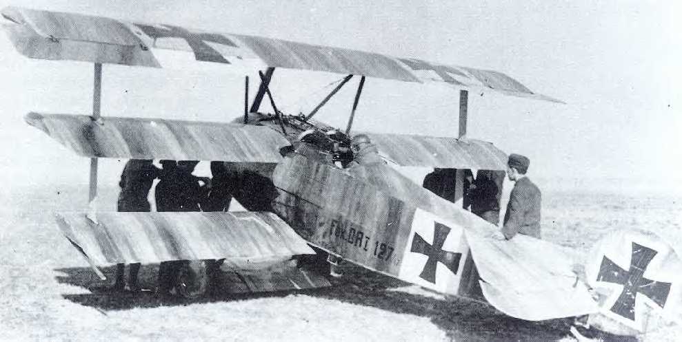
Combat Report: 1545 hrs, north-east of Villers-Bretonneux, near east edge of Bois de Hamel. Sopwith Camel, burned; Englishman. With five of my planes of Jasta 11, we attacked several enemy one-seaters at low altitude, flying north-east of Villers-Bretonneux. The English plane which I attacked started to burn after only a few shots from my guns. Then it crashed burning near the little wood north-east of Villers-Bretonneux, where it continued burning on the ground. Weather: low clouds and rain.

Combat Overview

A clearer reading of the opposing pilot and aircraft involved in this encounter.

VS

Related Media

Victory 76

Victory 76

Victory 76 (picture source: Thomas La Padula - Aviation Art)

Sources

Pilots

MvR Airplanes

Airplane Types Richthofen flew

Opponent Airplanes

Opponent Airplane Types

Discussion

Comments (0)

Be the first to comment on this event.

Leave a comment

Your comment will appear after an administrator approves it. Your email address will not be published.

This research platform was curated by Hein Poblome with care, patience, and a lot of passion. If you enjoy the work and would like to support the project, buying him a coffee is a wonderful way to help. Support on Buy Me a Coffee