April 2, 1918

Victory 75

Event Summary

Featured image

Victory 75

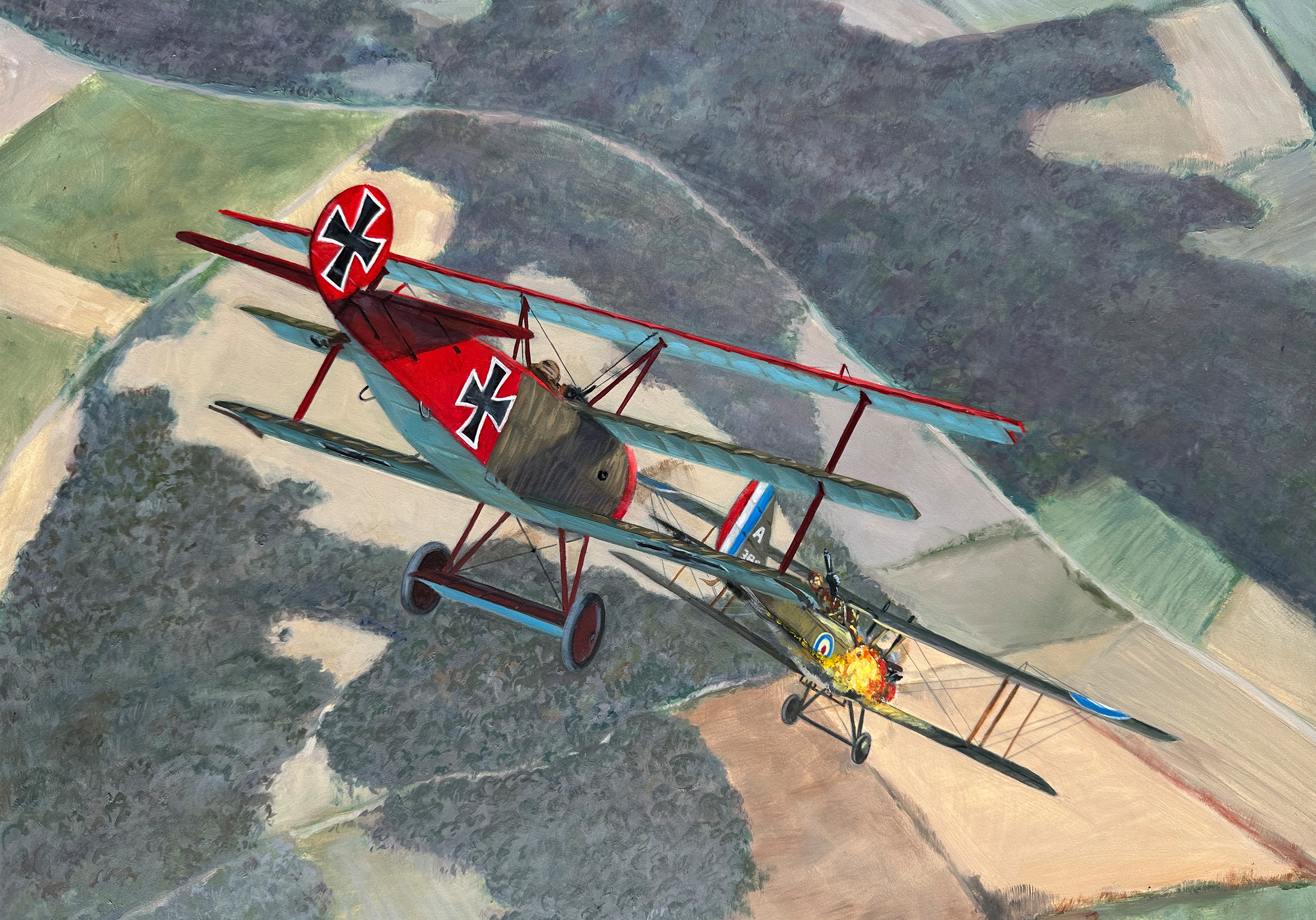
Victory 75 (picture source: Thomas La Padula - Aviation Art)

Location Map

Coordinates 49.77531454215761, 2.4910333027090017

Event Narrative

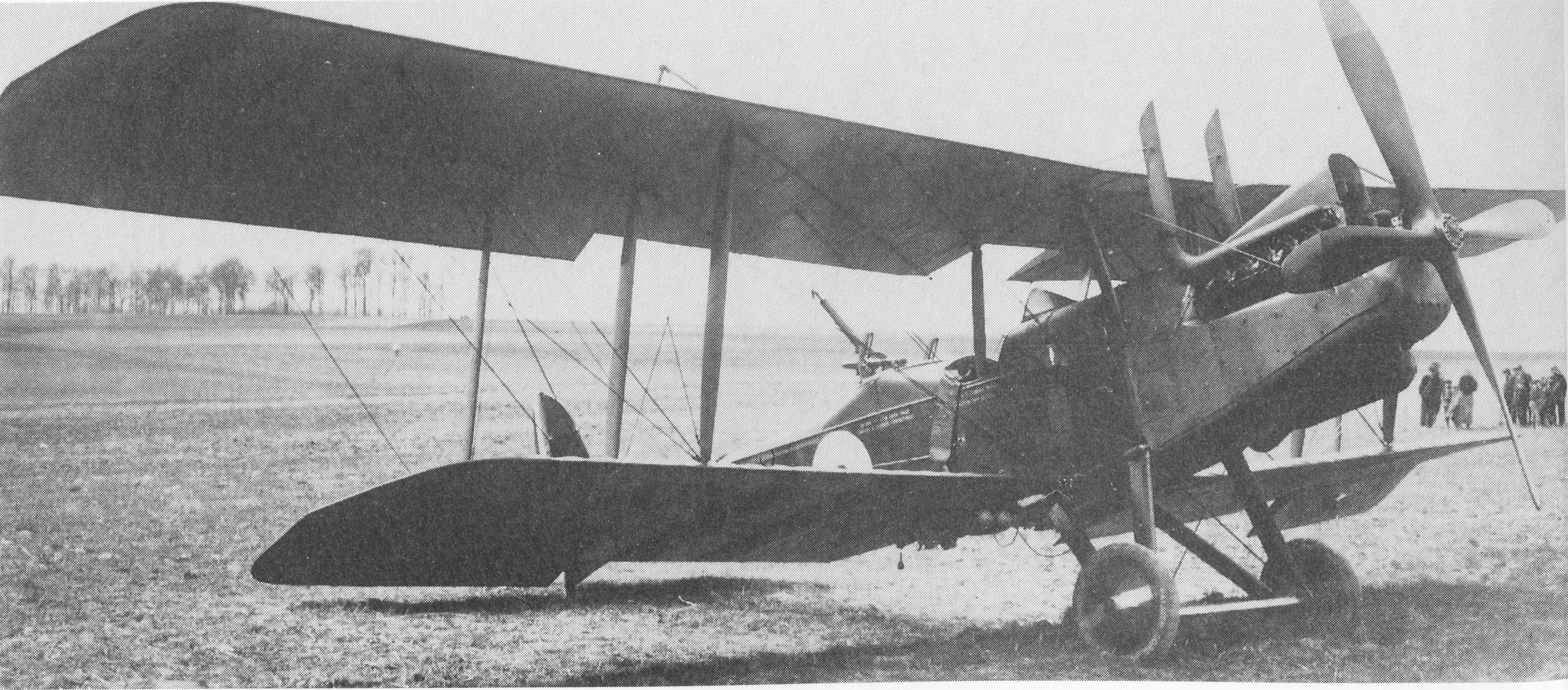
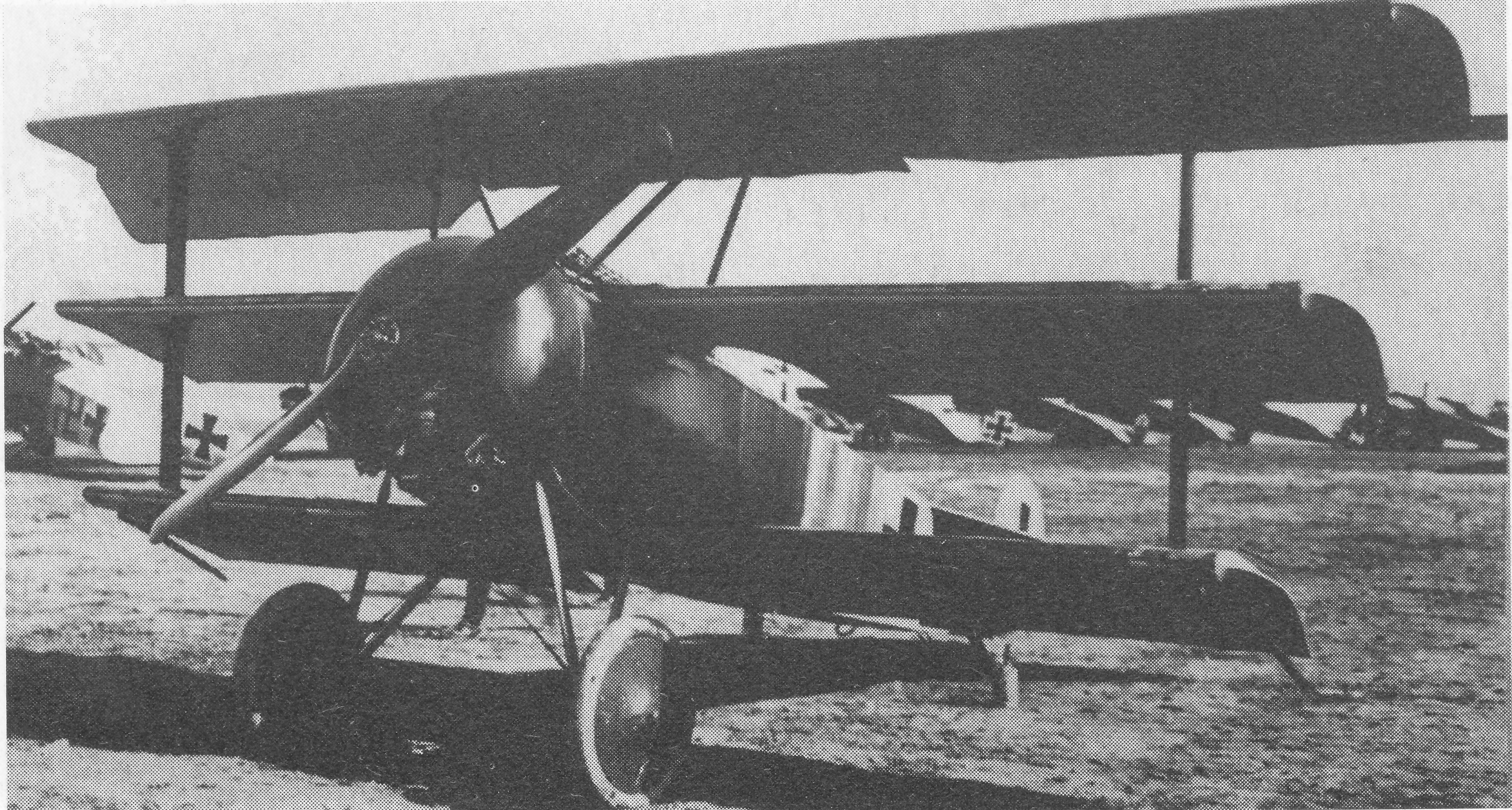
Combat Report: 1230 hrs. Hill 104, north-east of Moreuil. RE 2; Englishman. Around 1230 I attacked, above the wood of Moreuil, an English RE at an altitude of 800 metres, directly under the clouds. As the adversary only saw me very late, I managed to approach him to within 50 metres. From ten metres range I shot him until he began to burn. When the flames shot out, I was only five metres away from him. I could see how the observer and pilot were leaning out of their plane to escape the fire.The machine did not explode in the air but gradually burnt down. It fell uncontrolled to the ground where it exploded and burnt to ashes. Weather: fine, good visibility, but cloudy over lines at 2.000 feet.

Combat Overview

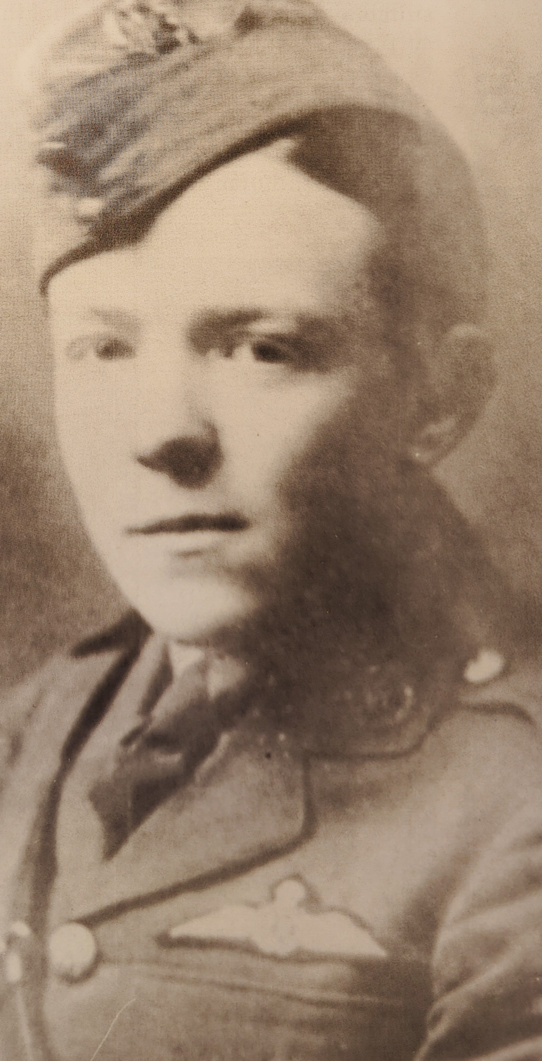
A clearer reading of the opposing pilot and aircraft involved in this encounter.

VS

Related Media

75th victory in the papers.

75th victory in the papers.

75th victory in the papers. (picture source: The Illustrated Red Baron - The life and times of Manfred von Richthofen - Peter Kilduff -Cassel & Co - 2000)

Victory 75

Victory 75

Victory 75 (picture source: Thomas La Padula - Aviation Art)
Sources

Pilots

MvR Airplanes

Airplane Types Richthofen flew

Opponent Airplanes

Opponent Airplane Types

Discussion

Comments (0)

Be the first to comment on this event.

Leave a comment

Your comment will appear after an administrator approves it. Your email address will not be published.

This research platform was curated by Hein Poblome with care, patience, and a lot of passion. If you enjoy the work and would like to support the project, buying him a coffee is a wonderful way to help. Support on Buy Me a Coffee