Event Narrative
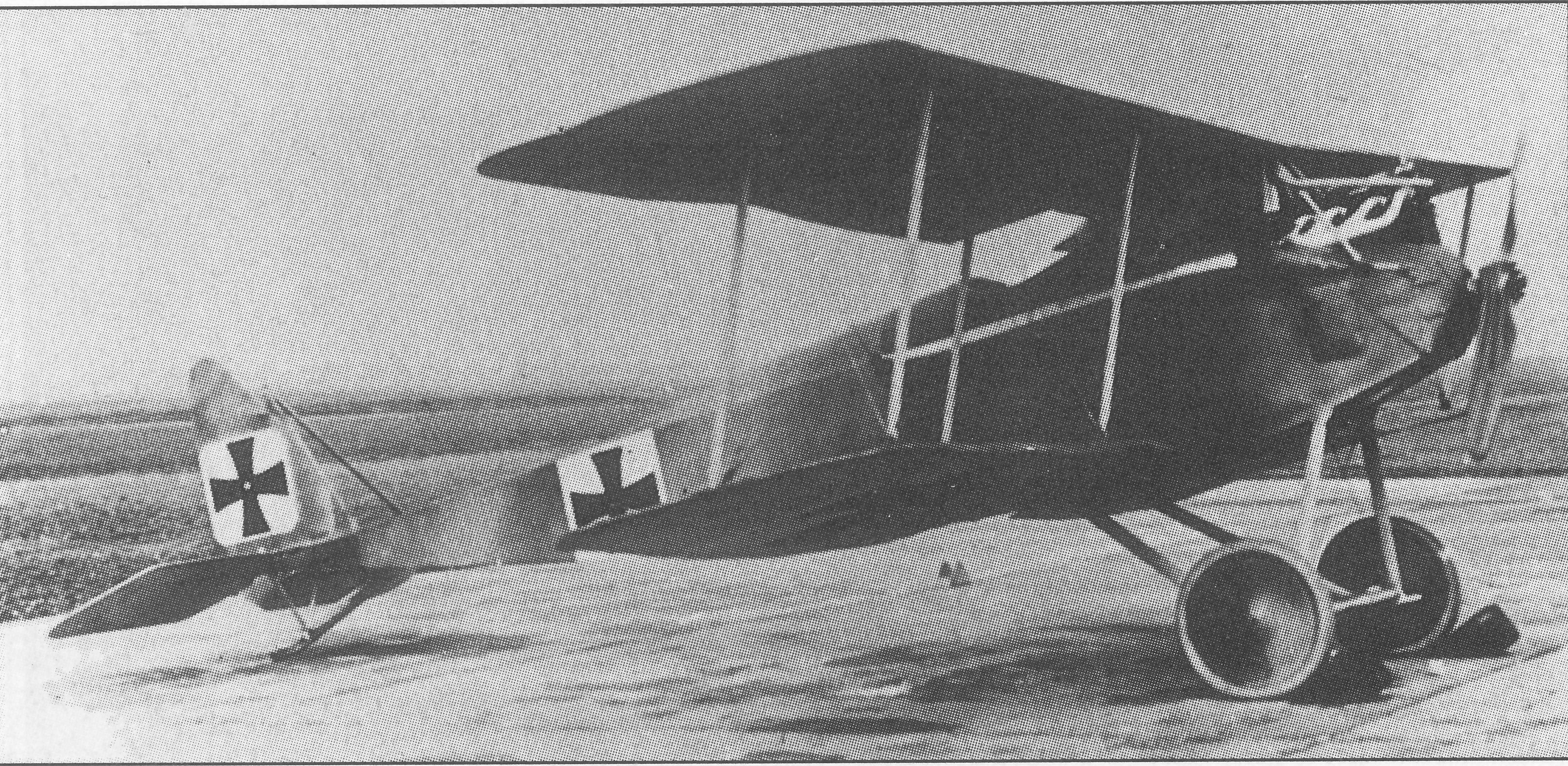
Combat Report: 1730 hrs, BE two-seater. Hill 123, north of Neuville. Plane details unknown, as plane came down on enemy's territory. Message came through that enemy planes had been seen at 1.000 metres altitude in spite of bad weather and strong east wind. I went up by myself intending to bring down an infantry or artillery flyer. After one hour I spotted at 800 metres a large number of enemy artillery flyers beyond the lines. They sometimes approached our front, but never passed it. After several vain attempts I managed, half hidden by clouds, to take one of these BEs by surprise and to attack him at 600 metres, one kilometre beyond our lines. The adversary made the mistake of flying in a straight line when he tried to evade me, and thus he was just a wink too long in my fire (500 shots). Suddenly he made two uncontrolled curves and dashed, smoking, to the ground. The plane was completely ruined; it fell in section F.3. Weather: low clouds and rain during morning; clearing in places in the afternoon.


Comments (0)
Be the first to comment on this event.
Leave a comment
Your comment will appear after an administrator approves it. Your email address will not be published.